

David Bonebrake describes himself as the kind of guy who likes order. If he sees a crooked picture on the wall, he wants to fix it.
When Bonebrake, a Kansas native, saw an aerial picture of Kansas City from 438 miles above — a photo he still keeps on his phone — he noticed that the Missouri roads were not parallel with the Kansas roads. He began to wonder why the roads on either side of the state line were not parallel.
So Bonebrake, 63, started asking around. He consulted the internet and asked a local librarian but didn’t get an answer. That led him to the curiousKC initiative, where he asked us, “Why are the north-south streets in KCMO about 3-5 degrees off of due north compared to those in Kansas? Surveyed at different times?”
Bonebrake was not the only person curious about the off-kilter layout of Kansas City. There were not one, not two, but three threads on the online forum community, Reddit, devoted to the slight tilt in the roads that run north-south in Kansas City.
[FLEX-CONTENT]
While theories abound on the internet, we invited Bonebrake along with us as we consulted local experts.
Pat Carroll, owner of Gallup Maps in Downtown Kansas City, concurred that the Missouri roads are about 3 degrees off magnetic north. He says the reason the roads are skewed is quite simple: Missouri and Kansas roads were planned using different norths.
“It’s a magnetic north problem,” Carroll said.
Because a compass is a magnetized needle, it points to magnetic north. The geographic North Pole, or true north, is not the same as magnetic north. The difference between those two points — declination — is measured in degrees, but even a few degrees can have effects on surveying and navigation.
Carroll said: “If you’ve ever been a Boy Scout, you know if you don’t set your compass correct for that [declination] … you’re going to end up quite a ways to the east or west.”
The surveyors of the Kansas City, Missouri, side used magnetic north, he said, while the Kansas surveyors used true north.
However, Jim Anderson, a professional land surveyor and the owner of Anderson Survey in Lee’s Summit, thinks there are other variables that might have contributed to the angled streets.
[FLEX-CONTENT]
Major guiding lines are used as the basis for land surveying and planning. Missouri was surveyed based on the 5th principal meridian, Anderson said, which goes through Arkansas. He said Kansas surveyors used the 6th principal meridian.
“There are certain inaccuracies going from one point to another point over long distances,” Anderson said. As the survey got farther from the original line, there was more room for error.
The question asker, Bonebrake, had provided a theory of his own — that the gap in time between surveys may have played a role.
John Young, a professional land surveyor at Missouri-based J&J Survey, agreed with Bonebrake’s theory. He said that the angled roads were probably caused by a lot of things but that the decades between the road surveys played a major role.
“It goes back to when the first surveys were done for the states. In Missouri they got to those surveys in 1826,” Young said. “When they laid down Kansas, it was 40 years later. They had a lot more experience and better equipment.”
When asked whether the main culprit of the crooked streets is true north, time difference, technology or human error, Young said it was “probably a combination of all those.”
— Michelle Stoddart is a multimedia intern for Flatland. She is a senior studying multimedia journalism with an emphasis in radio reporting at the University of Missouri-Columbia.
— This article was updated to clarify a quote.
Reading these stories is free, but telling them is not. Start your monthly gift now to support Flatland’s community-focused reporting.

Related Stories
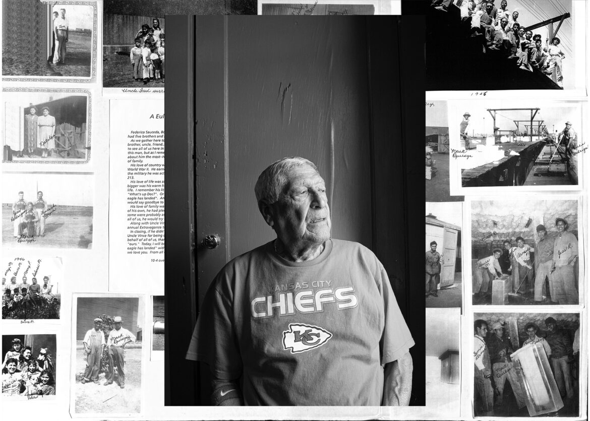
curiousKC | How Mexican Communities Kept KC Boxcars Cold
This is the story of "La Hielera" aka "The Ice Plant," the tiny Mexican community nestled behind the 42nd Street Bridge and Santa Fe Railroad main line.

curiousKC | Here’s How to Stay Healthy These Days, Say KC Health Leaders
Here's what local health care experts and public health researchers want you to know about COVID-19 right now.
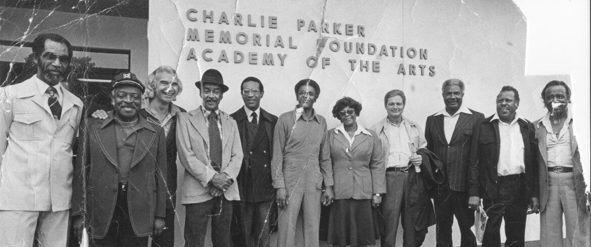
curiousKC | Where is the Charlie Parker Memorial Foundation’s Music School now?
The Charlie Parker Memorial Foundation school of music was lauded in the '70s for getting kids "off the streets," and "into the arts." Local jazz artist asked: "What happened to it?"